
More fish can be encouraging, but it does not necessarily mean a habitat has returned to exactly its earlier state. In an October 6, 2026 explanation of previously published research, James Cook University describes how seagrass meadows in Cairns Harbour recovered after severe weather damage while their fish communities changed.
One place, several measures of recovery
The JCU research explanation concerns Trinity Inlet and Cairns Harbour, using a long-term dataset covering 1991–2025. After severe storms and flooding, seagrass habitat and fish numbers declined sharply. Seagrass area and biomass subsequently recovered, as did fish abundance and the number of species, but the mix of fish was different.
This is an October discussion of a long-running study, not a statement that all Queensland seagrass recovered this month. It does not describe the condition of every beach or establish a current snorkeling itinerary for Cairns.
Why the mix matters
The research abstract in Queensland’s official archive distinguishes recovery in abundance and richness from a return to the historical assemblage. It describes a reorganization of fish communities following seagrass loss and recovery. The archive record was already available before October, so the university’s later explanation should not be confused with the paper’s initial release.
For a visitor, the three terms can be made concrete. Abundance asks how many animals were recorded. Richness asks how many different taxa were represented. Composition asks which ones they were. Two observations can have a similar total and still contain a different set of species.
Reading a restoration headline more carefully
When a destination says a habitat has recovered, ask what was measured and against which baseline. An increase in area, a higher animal count, and the return of particular species are each useful findings, but they are not interchangeable. The date and method of the comparison belong beside the result.
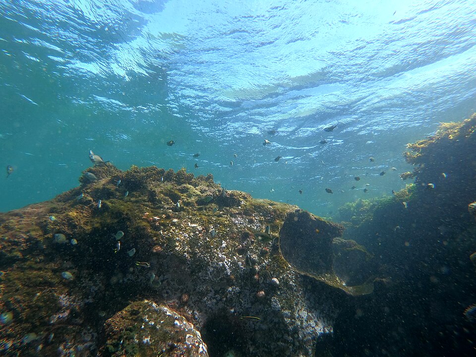
Keep the scale of the evidence in view as well. A study of an estuarine meadow can illuminate ecological recovery without describing every reef nearby. A photograph from a different coast may explain what a habitat looks like, but it cannot validate the study’s measurements.
What an interested snorkeler can do with the idea
During a guided activity, ask how the operator describes nearby habitats and their connections. If a citizen-science project invites observations, follow its recording method and keep the location, time, and identification uncertainty. A personal sighting can be interesting without becoming proof of a long-term trend.
Choose the activity and site using current local information, then resolve equipment questions separately. Our mask fit guide addresses one practical part of that preparation; it does not assess habitat condition.
Sources checked October 24, 2026. This article explains a recent institutional discussion and the underlying research. It includes no firsthand survey, water-quality assessment, or claim of access to a research site.
Join the discussion
Share a question or a useful experience about this article. Every comment is reviewed before it appears.