
If you follow ocean-colour or sea-surface-temperature maps alongside your interest in diving and snorkeling, check which dataset is behind the display. A new NOAA CoastWatch notice describes a change in data supply, including gaps and replacements that are still being finalised. A familiar-looking map may not keep the same underlying inputs.
What the October 28 notice changes
NOAA’s October 28 announcement says S-NPP satellite data products will cease November 2, 2026. It warns that not all products will be replaced and that interim gaps are unavoidable while revised datasets are finalised. It identifies existing NOAA-20 and NOAA-21 single-sensor ocean-colour datasets as possible interim resources.
These statements describe a scheduled transition, not proof that every replacement is already operational. The notice presents new merged products as expected in coming weeks. A reader should retain that future-tense status when sharing an image or a chart based on the announcement.
Resolution and processing delay belong beside the date
The October 27 technical newsletter names the transition from S-NPP/NOAA-20 observations to NOAA-20/NOAA-21 merged ocean-colour products. It identifies parameters including chlorophyll, light attenuation, suspended particulate matter and Secchi depth. These are different products, so a shared colour palette does not mean two maps show the same quantity.
The later notice distinguishes a planned 9 km near-real-time product from a higher-resolution 2 km science-quality product with a longer processing delay. Keep resolution and processing status together when comparing coverage. Do not read a finer grid as an automatic guarantee of a more current observation.
Make a four-field map note
Record the dataset identifier or product name, the date represented, the spatial resolution and whether the display is a direct observation, a merged product or a gap-filled product as documented by its provider. Then record the page’s update date separately. This makes a change of input easier to spot when an old bookmark continues to open.
If a date or area has no data, leave that gap explicit. Do not treat a missing update as unchanged conditions or fill it with an older image without labelling the date. NOAA’s notice also discusses a recent network outage and expected backfilling, illustrating why availability and environmental change are separate questions.
Keep the recreational interpretation limited
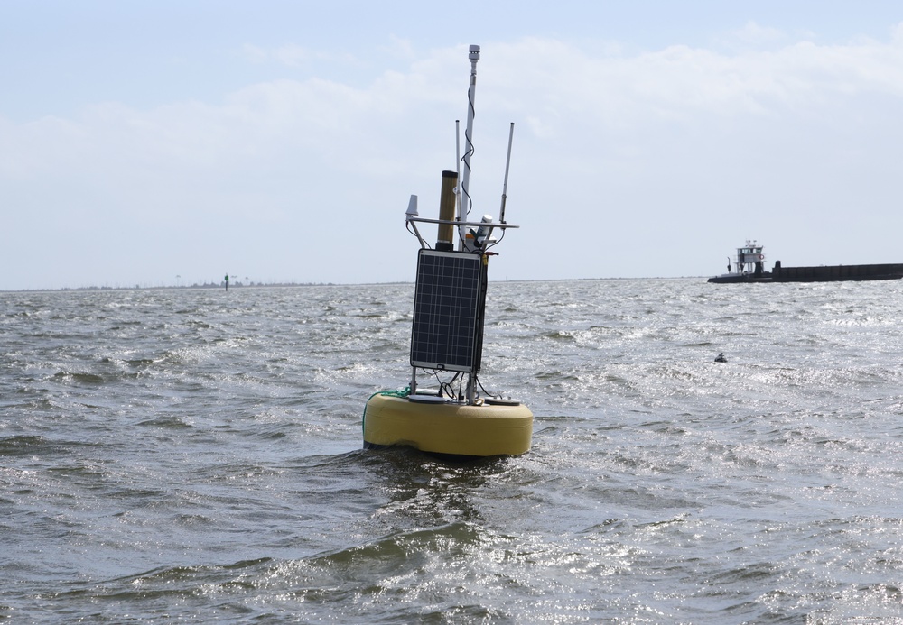
This is a data-continuity update for interested map readers, not a local water-quality notice or permission to swim or dive. The pictured 2023 observation buoy is archival research-equipment context, not a satellite, a replacement dataset or evidence of current conditions at a destination. Check the provider’s subsequent notices for actual product availability.
Sources and verification
Dated development: announcement October 28, 2026; complementary newsletter October 27, 2026; planned cutoff November 2, 2026. New merged products remain expected, not confirmed available. Checked October 29, 2026.
- NOAA CoastWatch: Transitioning from S-NPP Ocean Color, SST and Ice Products. Source publication date: 2026-10-28. Verified 2026-10-29.
- NOAA CoastWatch: October 2026 Oceanographic Data and Systems Updates. Source publication date: 2026-10-27. Verified 2026-10-29.
Join the discussion
Share a question or a useful experience about this article. Every comment is reviewed before it appears.