
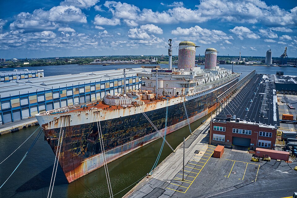
Scientists have an unusually clear starting point for studying a new shipwreck habitat. The Woods Hole Oceanographic Institution’s November 11 announcement says the SS United States was sunk that day off Destin–Fort Walton Beach, Florida. Its research team plans to document the site within the first month and revisit it over multiple years. Those early measurements will give the scientists a record of conditions against which to compare later changes.
What the first survey is intended to record
Shipwrecks are often studied after organisms have already settled on them. WHOI says the deliberate deployment and advance documentation of this vessel make it possible to follow earlier stages. The planned initial survey will document the ship’s condition, the surrounding water chemistry and the organisms found near the start of the project. A baseline taken after deployment is an early reference point. It has a different purpose from measuring a reef after years of development.
WHOI describes a plan to take water samples from 132 locations around the structure. As steel corrodes, elements such as iron, manganese and nickel can enter surrounding water. The team will measure selected elements while following microbial activity and settlement. The release also identifies a separate effort led by a University of Southern Mississippi researcher to examine the water and sediment around the ship. These are planned measurements. The announcement did not establish a pattern of metal concentrations or ecological outcomes at the site.
How a later photograph can fit into the study
The WHOI team plans annual photography and sampling. The release describes a possible future program in which visiting recreational divers could contribute images between those visits. A photograph can document visible change on part of the structure, while a sample answers a separate question about chemistry or microbes. Anyone interested in contributing should watch for published submission instructions and ask whether the program requests dates, locations or repeat views. WHOI did not announce an open submission channel in this release.
Check access separately from research news
The November 11 deployment moves the project beyond the earlier schedule and sendoff notice. The destination’s reef listing links to the organizer’s information about the project and its deployment video. Ask an appropriate operator and the relevant authorities about current access and prerequisites for any proposed visit. The U.S. Coast Guard’s temporary moving safety-zone rule relates to active tow operations on its defined route. The research announcement and the tow rule do not provide a recreational diving clearance.
WHOI release dated November 11, 2026. Coast Guard rule published October 30, 2026, with an effective window of November 6–16 during the active towing conditions described in the rule. The destination listing is undated. Sources checked November 12, 2026, Asia/Shanghai time.
Join the discussion
Share a question or a useful experience about this article. Every comment is reviewed before it appears.