
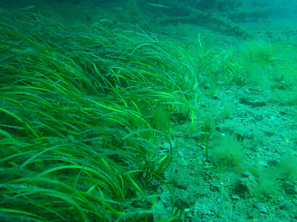
A clear photograph of a seagrass meadow is not the same thing as a map of that meadow. An October 13, 2026 partner release from CSIRO describes a trial designed to collect underwater observations across larger areas, including coastal locations where visibility makes surveying difficult.
A camera close to the target
The CSIRO release describes CQUniversity researchers testing a tethered towed underwater vehicle with CSIRO and the Great Barrier Reef Foundation. An uncrewed surface vessel tows the underwater component above the seabed. It collects geographically referenced imagery and environmental information; processing occurs onboard the surface platform, with results transmitted by radio.
The team is assessing the approach’s usefulness for monitoring seagrass. The release says a final report expected later in the year will provide the first assessment of performance in coastal monitoring conditions. It does not publish a completed comparison establishing a universal visibility limit or survey accuracy.
Collection and classification are separate steps
CSIRO separately documents iBenthos, a tool using regionally relevant image datasets to detect seagrass, classify forms and estimate cover. Its stated inputs include diver, drop-camera and vehicle surveys. The October 13 release does not name iBenthos as the trial’s implementation, so the two should not be assumed to be the same software pipeline.
That distinction helps explain a broader point. A vehicle determines where images can be collected. An analysis method determines how those images become a measurement. Good performance in one step does not automatically validate the other.
What a useful map needs to explain
Our editorial suggestion is to ask how the survey links each observation to a position, how much seabed it actually viewed and how ambiguous images were handled. A beautiful example frame might show the target clearly while saying little about unobserved gaps along the route.
Restoration adds another reason to ask those questions. Seagrass-Watch’s project description explains work with local partners and existing nurseries to scale restoration at Great Barrier Reef locations. Measuring what changed requires a record that later surveys can meaningfully compare, alongside the planting effort itself.
For snorkelers following a local project, look for the survey method and coverage in addition to a before-and-after photo. If a project welcomes community observations, follow its own collection protocol; a casual scenic image and a standardized monitoring observation serve different purposes.
The interest in this trial is the connection between access, imagery and repeatable assessment. Its future report, rather than the promise in an announcement, will be the place to look for measured performance. Our underwater technology checklist can help you read that next update.
Checked October 26, 2026. Trial announcement: October 13. This article describes the monitoring equipment, separately from earlier reporting about seagrass ecology.
Join the discussion
Share a question or a useful experience about this article. Every comment is reviewed before it appears.